
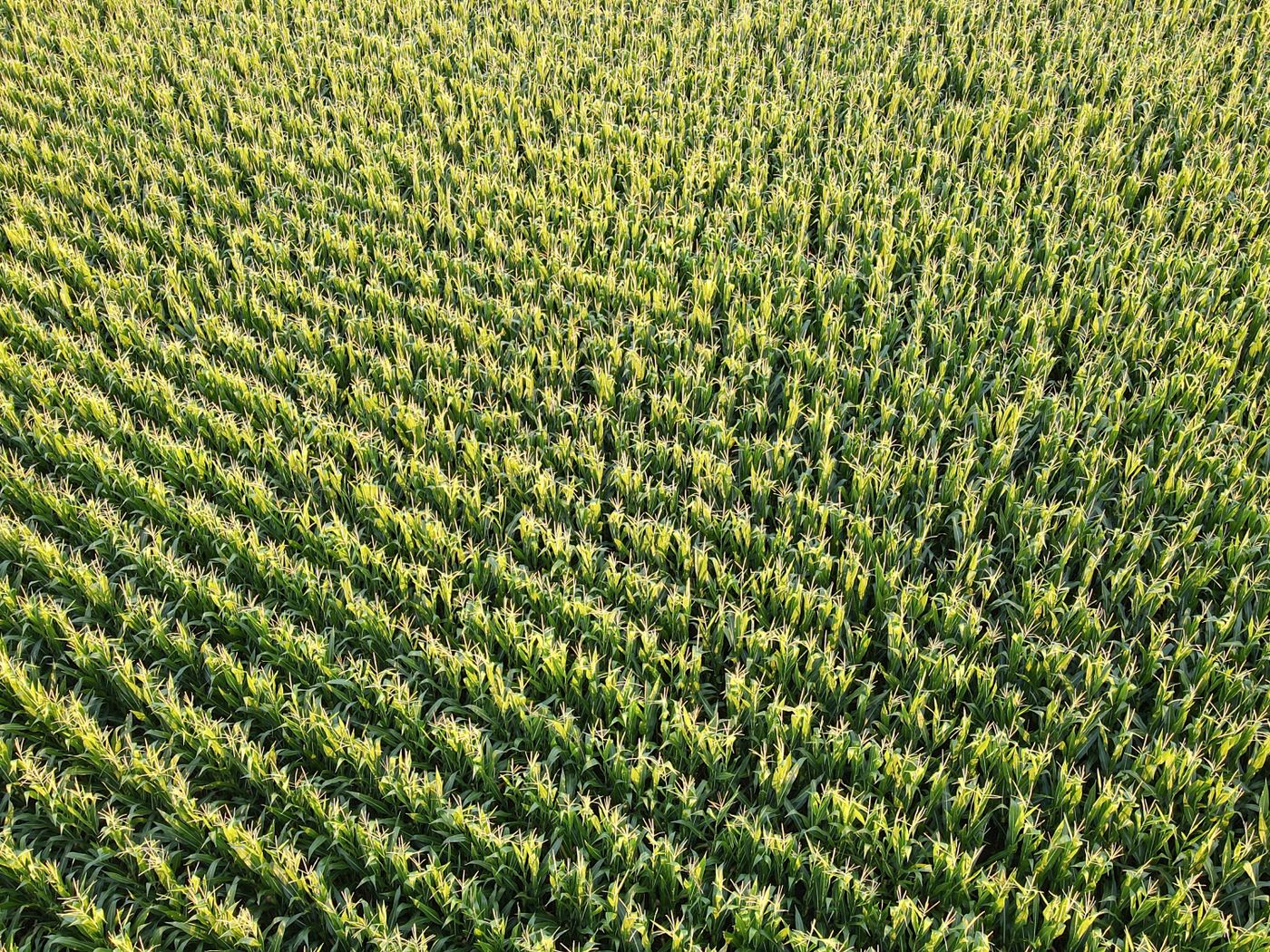
Drone mapping — In preparation
First cluster: baseline mapping
Establish boundary, hectare and crop-health baselines for the first five to ten paying pilot farms in a single cluster.
Why this comes first
The cluster is chosen by score, not by convenience: trust and contacts, security, existing willingness to pay for labour and chemicals, farm density within a short drive, robot test fit, off-take, and logistics.
Every flight produces a geotagged record and a plain-language report reviewed by an agronomist before it reaches the farmer.
Success is not the flight. It is the farmer making one different decision because of it.
Location
Candidate clusters: Kaduna, Niger, Kwara (maize); Niger, Kebbi, Ebonyi, Cross River (rice)
Next in the record
Post-harvest loss baseline
Measure how much of the chosen crop is lost between harvest and sale, and at what moisture, before installing any drying or storage equipment.
Start the conversation
Make food secure and farming profitable — at the same time
Tell us your crop, your hectares and where you lose money today. We will tell you honestly whether Ifenri can improve that hectare yet — and if we cannot, we will say so.
Farmers & cooperatives
Book mapping, scouting or machinery for your cluster. Pilots are paid and measured from the first hectare.
Book a field serviceBuyers & processors
Talk to us about reliable, traceable supply and where the loss actually happens in your crop.
Discuss supplyFunders & partners
Read the working plan, the gates, and the unit economics before you commit a naira.
Investor brief